Search
Close this search box.

Properties

The Merritt Family Forest

Parking: Dirt area on shoulder of Fishtown Road
Facilities: none

Property Highlights

The Merritt Family Forest is part of a large block of forested open space. The upper portion includes a steep, rocky, wooded upland with a mature hardwood forest. Descendants claim the forest remained uncut since the family acquired the property in 1848. The lower portion includes a meadow, and hosts a Tier 1 vernal pool and two Class A streams – Eccleston Brook and an intermittent tributary.

Eccleston Brook flows into Palmer Cove, Fisher’s Island Sound and Long Island Sound.

A 4 acre meadow was planted with native grasses and forbs at the site of a World War II era Community Victory Garden.

A Colonial stone slab bridge crosses Eccleston Brook at the Fishtown Road entrance.

Portion of the X Town Trail

Recreational Opportunities

mature hardwood forest, meadow, vernal pools, streams, colonial stone bridge, stone walls

walking

walking & hiking

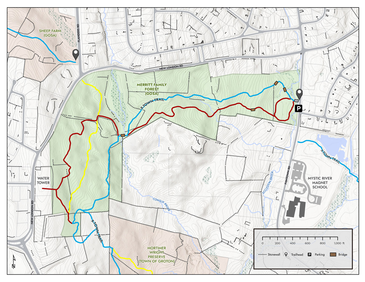
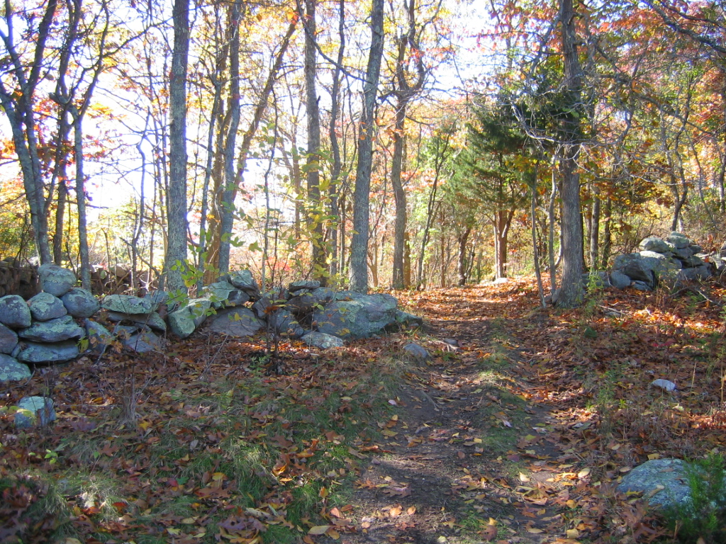
meadow loop with granite bench; moderately steep trails are part of the X- Town Trail

4055993

bird and wildlife viewing

forest interior breeding birds, migrant songbirds, edge species, and vernal pool amphibians, reptiles, mammals, and insect pollinators

2061019

art opportunities

photography, painting, drawing

5172502

winter activites

snowshoeing, cross country skiing

Background

This 75-acre property extends from the top of Fort Hill along Route 1 to Fishtown Road. It is a critical link in an important greenbelt tying together many town-owned and state-owned lands, connecting inland parcels with the shores of Long Island Sound. The Merritt Family Forest is contiguous to the Groton Town-owned land including the Mortimer Wright Nature Preserve which connects to Haley Farm State Park and Bluff Point State Park and Coastal Reserve. Combined, over 1,160 acres of habitat area are available for wildlife and watershed protection.

Part of the original Fanning/ Eccleston Farm, founded in 1705, it ranged from the top of Fort Hill to the common lands of Noank, a few miles away, and included up to 200 acres. The original 1732 farmhouse and fields still exist on 6 acres of land adjacent to the Merritt property. The Francis E. Merritt family acquired the property in 1848. Fort Hill was the site of the fortified village of Chief Sassacus, later occupied by Robin Cassasinamon and his tribe in 1669. There is one known colonial archeological site on the property and four Native American campsites in close proximity as documented by Nicholas Bellantoni, State Archeologist.

In 2002, the property was considered for residential development and GOSA recommended a plan to lessen the impact of stormwater runoff to Eccleston Brook. This large tract of land is a key property connection in Groton’s east-west greenbelt. Development threatened habitat fragmentation and loss. Subsequently, both the developer and the Merritt family offered GOSA the opportunity to purchase the property. Nelson Merritt, grandson of Francis E. Merritt acted as trustee for the family.

Acquired in May of 2008, this project was funded by member donations, community clubs, local organizations, businesses, local and national foundations, and grants from the CT DEEP Open Space and Watershed Land Acquisition Program.

The State of CT holds a conservation easement on the 75-acre property.

Trail Map

Click on the map to enlarge or download.

Directions & Parking

Fishtown Rd, south of light at Rt 1. This is an approximate location, there is currently no street address for this property. The map is a general guide. Contact us at [email protected] for tours or directions.